We are running a Special Issue entitled “Using Remote Sensing and GIS Methods to Study Current Urbanization Issues” with the journal Remote Sensing (IF: 5.349, ISSN 2072-4292). This special issue belongs to the section “Urban Remote Sensing“. The guest editors for this issue are Dr. Zutao Ouyang from Stanford University, Dr. Chenghao Wang from the University of Oklahoma, and Dr. Peilei Fan from Michigan State University. The submission deadline is April 30, 2023.
Further details on this Special Issue and how to submit can be found here: https://www.mdpi.com/journal/remotesensing/special_issues/Y602B3CNT6.
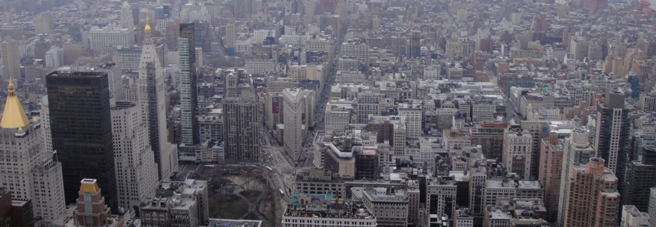
The increase in the number of people living in urban areas, the proliferation of megacities, and the pervasive expansion of per-urban areas are some of the most challenging transformations in the 21st century. The complexity of urbanization imposes intertwined social, economic, and environmental impacts. While urbanization can achieve social and economic benefits, such as improved education, job opportunities, and healthcare, it also brings numerous negative ecological and social consequences, such as increasing the cost of living and social and economic inequality, deforestation, loss of natural habitat and biodiversity, soil, air, and water pollution, increased emission of greenhouse gases, heat island effect, and increased risk of disease. Therefore, it is imperative to create a sustainable urban environment that reconciles the conflicts between human and natural systems and reduces the negative impacts of the urbanization process. Remote sensing techniques could provide a “unique view” of the urban landscape. When combined with GIS-based spatial analysis, it can serve as a powerful tool to study processes and patterns of urbanization, drivers and impacts of urbanization, and the coupled human and natural systems embedded in urban ecosystems.
The main objective of this Special Issue shall be to provide a scientific forum for advancing the successful implementation of remote sensing (RS) technologies and geographic information system (GIS)-based methods towards urbanization issues and the peri-urban environment and to foster informed debates among scientists and stakeholders on the environmental issues prevalent therein, relating these to city growth dynamics.
This Special Issue will provide readers in the fields of GIS, remote sensing, Earth science, environmental science, and computer science with theoretical and practical advances in urbanization-related research. Topics of research articles, or reviews, submitted to this Special Issue include, but are not limited to:
- Integration of remote sensing data for urban environmental analysis.
- Novel remote sensing applications (new sensors, new methodology, etc.) in urban ecology and sustainability.
- Tracking urban growth and land use change with remote sensing technologies and GIS tools.
- Remote sensing and GIS analysis informing/supporting urban and peri-urban governance and planning.
- Landscape ecological analysis.
- Urban growth and fringe development.
- Water, river, and lake monitoring in and surrounding urban areas.
- Relations between urban growth and climate change.
- Social and environmental justice issues relevant to urban residents.
- Impacts and mitigation of urban heat.